
Horley to Blindley Heath
- Kate Cheema

- Mar 9, 2025
- 3 min read
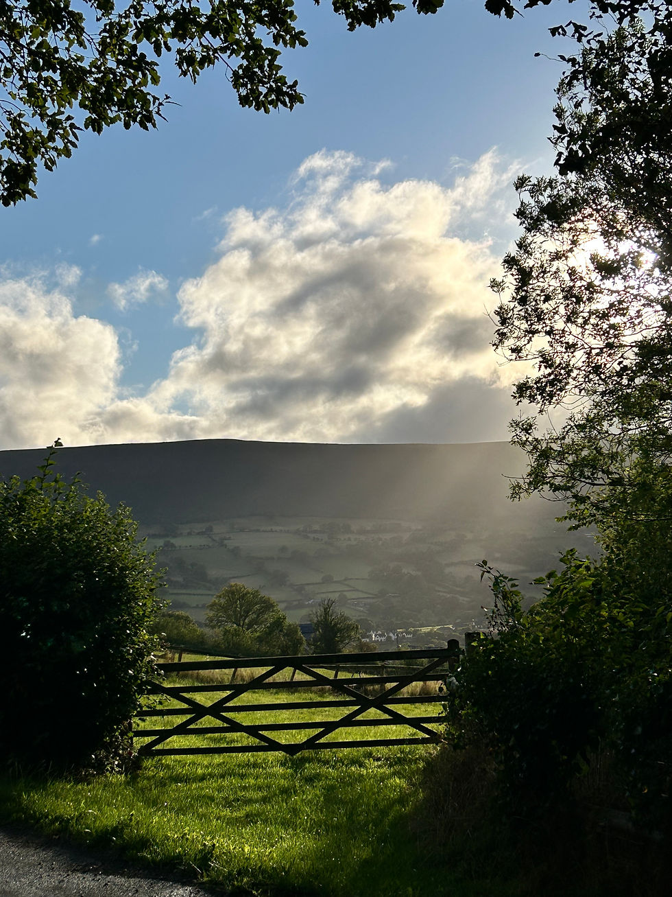
The sun had poked its head out from behind the gloom of February, and le deuxieme partie of the Via Francigena was on the near horizon, so I figured that completion and review of a couple of local Slow Ways would be a good way to get some miles in and help out with building that national walking network, connecting all of Britain’s towns. There are seven Slow Ways routes connecting Horley to surrounding towns (see Dorking and East Grinstead entries), and I'd walked five of them. Blindley Heath and Capel left to go..... I fancied a walk east, knowing that the route to the west would be almost impassablely muddy, so Blindley Heath it was.

I decided to use the excellent Slow Ways app for navigation, although the first half was familiar ground. Passing down from Horley station and along Balcombe Gardens, emerging onto the bridlepaths around Thunderfield Castle and out onto Haroldslea Drive, then taking Peeks Brook and Perrylands Lanes under the M23 and so into Smallfield.
An old favourite, the Tandridge Border Path, takes the route northwards coming out close to the Smallfield Race Way next to Burstow Manor. This is the western side of the TBP which traces 52 miles of the local authority border. It actually runs quite a long way up, reaching the outer reaches of New Addington and Biggin Hill before coming back down over the North Downs close to towns like Westerham and Edenbridge on the Kent border.
Passing Burstow Manor and taking the driveway to the east finds the route at the junction of Chapel Road, Norman's Road and Rookery Hill. A very short bit of road walking finds the footpath on the right, following another drive before reaching a cluster of agricultural and industrial buildings. The path then veers away from the driveway, through a hedge and onto someone's driveway and subsequently down the side of their garage the through their garden before heading into open fields. Watch out for the signage, it's not obvious where to pick up the path!
The path cuts across farmland before crossing Cogman's Lane, and so onward across pleasant, flat (albeit a bit squelchy) pasture with the odd sheep grazing peacefully. I did not see a soul until the path emerged into the churchyard of St Mary the Virgin Church in the tiny village of Horne. St Mary's dates from the 14th century and is pretty typical of the area with a wooden belfry and shingled spire. It was, also in common with lots of local churches, updated and extended in the 1880s- the Victorians did love to update their churches. I didn't go in as a service was being held, but took a moment to relace a boot in the peaceful churchyard before crossing the road and diving down the footpath just to the left of the primary school.

Horne marked about 2/3rds of the whole route, and the remainder was broadly similar to the first sections: big open skies over farmland, dotted with WW2 pillboxes, occasional sheep and now the odd dog walker. I passed through another set of industrial buildings, and the path briefly tracked a murky-looking stream before returning to bucolic peace and tranquillity.

The peace was slightly shattered by the roar of the A22 ahead, which marked the end of the route. A little 'life in your hands' moment trying to cross the road but once safely on the other side a short wander up to the Smith and Weston pub where the good-developer-him-indoors waited with the latter-day donkey to give me a lift home.
A very pleasant, easy walk of about 11-ish km (7 miles). Blindley Heath itself is a small village with a couple of nice pubs and the ubiquitous large church. It's also a jumping-off point for nice walks over to Lingfield, Edenbridge and Oxted. This is one of the things I love most about Slow Ways: being able to link up routes to pretty much anywhere! Highly recommend getting involved with it if you can, they have loads of resources to help explore routes between almost every town and village you can think of and actively promote the review and rating of routes for accessibility. In a country where public access to our countryside seems to be shrinking and rights eroded, projects like Slow Ways are becoming more important in helping us reconnect to the land we live on. Also handy to know these routes in case of a zombie (or indeed any other) apocalypse.
Check out the Slow Ways site here: https://beta.slowways.org/

Comments